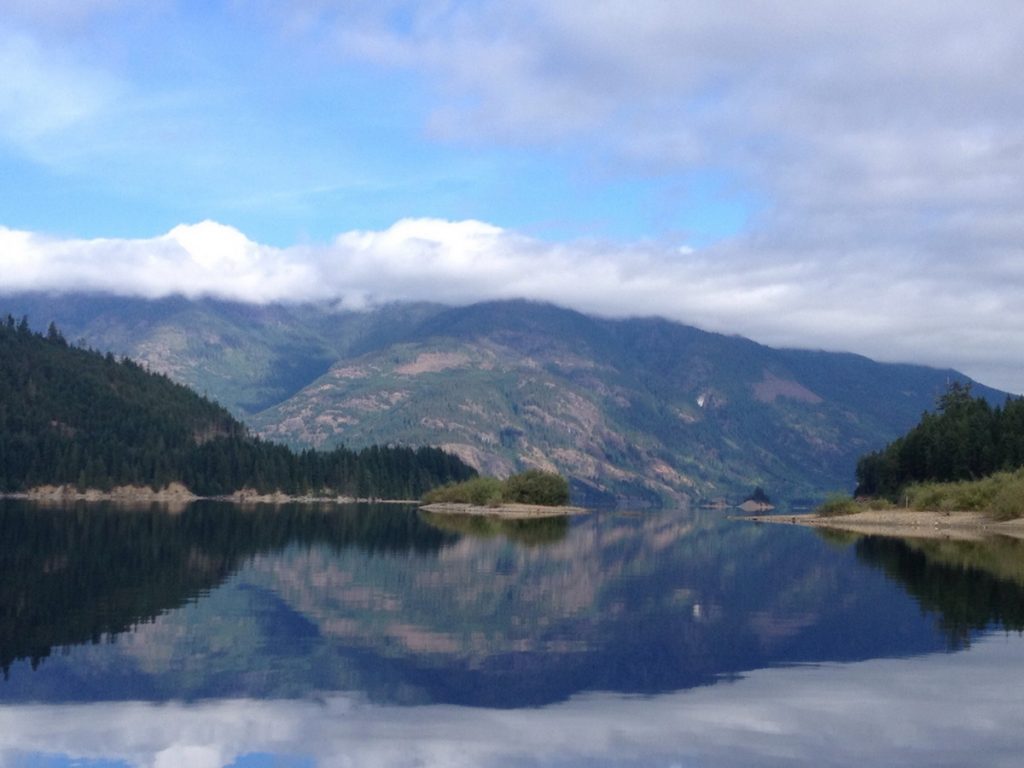
Upper Campbell Lake is a large and often windy Vancouver Island Lake set amongst some of Vancouver Islands mightiest hills and bordering on Strathcona Provincial Park. Much of the Eastern shore has been developed with homes, cottages and a few lodges. The remainder of the lake however remains largely untouched except for logging. At the end of the Western arm the Elk River flows into the lake forming a delta which is a great place to explore, stop for a swim or a picnic. The Southern arm is perhaps the wildest part of the lake and is dotted with island that make for interesting paddling. At the tip of the Eastern arm is the old, still in use, wooden logging bridge. As Upper Campbell Lake is a reservoir, canoe and kayak camping is restricted to the Upper Campbell Lake Marine Site. BC parks provides envelopes and a drop box at the boat launches where you can pay your $10/night BC Parks marine site camping fee which also includes overnight parking at the boat launch.
Latitude: 49.914403
Longitude: -125.645154
Size: 3079 ha | 7608 ac | 30.8 km²
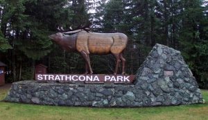
 Direction: The main access to Strathcona Park is via Highway 28, which connects with Gold River on the west coast of Vancouver Island. Follow Hwy 19 north past Courtenay to Campbell River, then follow Hwy 28 west for 48 km. Just after the park entrance (look for the big elk) and just before the Buttle Lake bridge turn onto Westmin Rd.. The Buttle Lake boat launch is about 1 km down on the right. From there it’s a short canoe or Kayak paddle through the narrows into Upper Campbell Lake.
Blog Posts: Upper Campbell Lake
External Links
- Upper Campbell Lake – Anglers Atlas
- Backroads Map Book – VIBC33 – VIBC42
- GoHiking.ca – Upper Campbell Lake
- Strathcona Provincial Park
- PDF Map of Strathcona Park & Buttle Lake
- Upper Campbell Lake logging road bridge
Upper Campbell Lake Map
